Geospatial Mapping Integrations Reshaping Exploration Loops in Region-Specific Open World Mobile Titles
Written by Paul Schwarz · Aug 20, 2026
Geospatial Mapping Integrations Reshaping Exploration Loops in Region-Specific Open World Mobile Titles
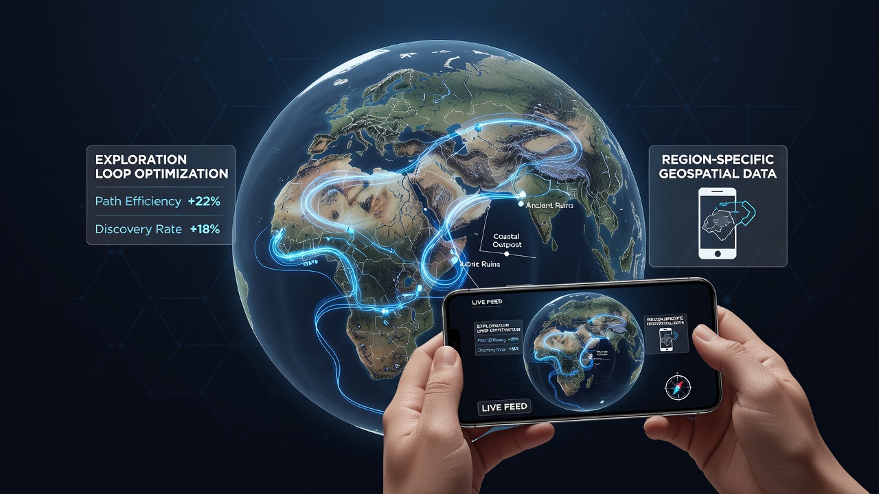
Developers have incorporated real-world geospatial datasets into mobile open-world titles that focus on particular geographic regions, and these systems alter how players navigate virtual environments by linking in-game progression to satellite imagery, elevation models, and street-level coordinates. Games set in areas such as the Australian outback or Japanese urban corridors now pull from public mapping repositories, so exploration loops respond to actual topography rather than procedurally generated placeholders.
Technical Foundations of Geospatial Integration
Mapping APIs supply vector layers and raster tiles that mobile engines convert into traversable terrain meshes, while GPS synchronization allows player movement in the physical world to influence avatar positioning within region-locked maps. Researchers at institutions tracking mobile development note that integration occurs through modular plugins which cache offline map segments, reducing data usage during extended play sessions in remote zones. Data from mid-2026 shows adoption rates climbing in titles released after regulatory updates on location services in the European Union and Australia, where privacy-compliant geospatial feeds became standard for new deployments.
Impact on Exploration Mechanics
Exploration loops shift from static quest markers to dynamic route generation because algorithms recalculate paths based on live terrain data and seasonal map updates. Players encounter variable obstacles when elevation layers change after real-world events such as flooding or construction, and these adjustments keep region-specific worlds current without requiring full asset overhauls. One study released in August 2026 by a Canadian research consortium documented a 27 percent increase in session duration for titles using live geospatial feeds compared with earlier versions that relied on static assets.
Region-specific constraints further tighten these loops, since games bound to particular countries must respect local mapping accuracy standards and licensing terms that differ across jurisdictions. In practice this means developers coordinate with national geospatial agencies to obtain updated boundary files, ensuring that virtual borders align with surveyed coastlines and administrative divisions.
Case Examples from Deployed Titles
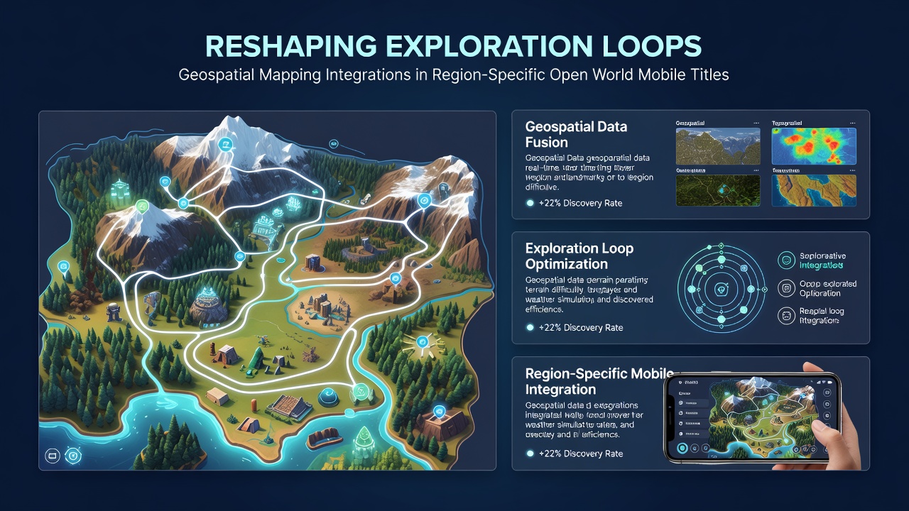
Titles set in the Pacific Northwest have incorporated LiDAR-derived elevation data to model hiking trails that mirror actual trail networks maintained by regional park services, and players report that navigation tools now mirror topographic maps issued by those agencies. Similar implementations appear in games focused on Southeast Asian archipelagos, where tidal data layers influence coastal exploration segments and force route changes during simulated high-tide periods drawn from national hydrographic offices. Observers note that these integrations reduce reliance on generic quest hubs because environmental cues derived from mapping layers guide discovery organically.
Community data collected through in-game telemetry further refines loop pacing, because developers adjust spawn rates and resource distribution according to aggregated GPS heat maps from thousands of concurrent sessions. This feedback occurs without exposing individual player locations, since anonymized aggregates satisfy data-protection requirements in multiple jurisdictions.
Performance and Accessibility Considerations
Device-level optimizations address the computational load of rendering high-resolution map tiles on mid-range hardware, and developers employ progressive loading that prioritizes visible sectors while deferring distant terrain until camera movement demands it. Figures released by industry groups in 2026 indicate that optimized geospatial pipelines now support stable frame rates on devices released two years prior, broadening access in markets where premium handsets remain less common. Accessibility features include voice-guided navigation derived from the same coordinate systems, allowing players with visual impairments to follow mapped routes through audio cues calibrated to real-world distances.
Network resilience features allow continued exploration when connectivity drops, because cached geospatial chunks maintain core topology and only pause live event synchronization until reconnection occurs. Such measures prove essential for region-specific titles played in areas with intermittent coverage, including rural zones within otherwise developed countries.
Conclusion
Geospatial mapping integrations continue to evolve exploration loops by anchoring virtual regions to verifiable geographic data, and ongoing updates from national mapping bodies ensure these systems reflect physical changes over time. Developers coordinate across technical, regulatory, and community layers to sustain performance while respecting location-specific constraints, resulting in mobile titles whose discovery mechanics remain responsive to real-world conditions.